How We Made a Short Documentary About Tokyo's Iconic Yamanote Loop Line
Tags:
Description:
Spring 2021, we made a short educational video. Here is the story.
How We Made a Short Documentary About Tokyo's Iconic Yamanote Loop Line
By Tran Huu Binh Minh
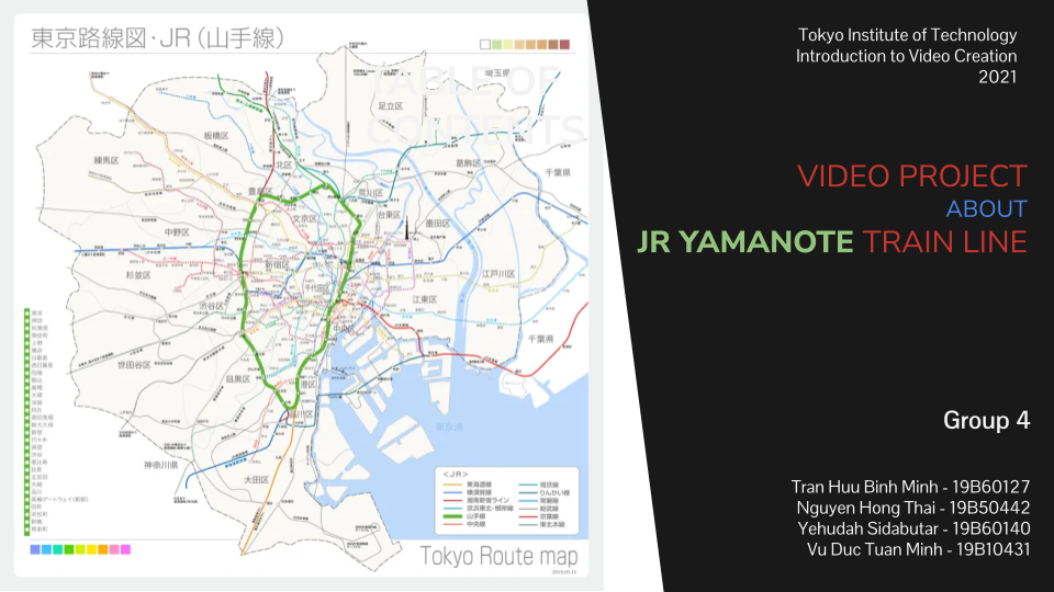
In the spring of 2021, while studying at Tokyo Institute of Technology (Tokyo Tech), I registered for a course called "Introduction to Video Creation." It was a transdisciplinary class, and for our final project, my group (Group 4, consisting of myself, Thai, Yuda, and Minh) decided to make a short educational video about the JR Yamanote Line.
Yuda (Yehudah) was our host, and I acted as the producer and editor. Here is the story of how we filmed it, the urban history we covered, and the technical hurdles we had to solve in post-production.
You can also watch the video directly on YouTube at youtu.be/Iem2jWN9QSE and view our presentation slides on Google Slides.
The Video: A Tour of the Yamanote Line
The Yamanote Line is the transport lifeline of Tokyo. Running in a 34.5 km circle, it connects Tokyo's major hubs and carries nearly 5 million passengers every day.
In the video, Yuda guides the audience through the history, urban planning benefits, geographic contrasts, and future of this railway loop.
                  [1903: Ikebukuro to Tabata]
                          (North)
                            O
                         /     \
    [1885: Akabane/     /       \   [1883: Akabane
     Shinagawa Line]   O         O   to Ueno]
     (West: Modern)   /           \  (East: Serene)
                     O             O
                      \           /
                       \         /  [1925: Final Connection
                        \       /    Shinagawa to Ueno]
                            O
                         (South)
                 [1872: Shinagawa to Shimbashi]
1. The Circle of Urban Flow
A loop line is crucial for a megacity. By allowing commuters to travel around the perimeter instead of cutting directly through the dense urban core, the Yamanote Line dramatically reduces central traffic volume. Yuda introduces this concept before diving into the details of how the loop was structurally pieced together.
2. A Loop Built in Five Stages
The loop did not appear overnight; it was constructed section by section over 53 years: * Stage 1 (1872): Japan’s first railway opened between Yokohama and Shimbashi. The portion running from Shinagawa to Shimbashi (partially built over Tokyo Bay) was the first link. * Stage 2 (1883): The Tohoku Line connected Akabane and Ueno. * Stage 3 (1885): The Shinagawa Line connected Shinagawa and Akabane. This line represents the true origin of the name "Yamanote" (hilly hand/foothill). * Stage 4 (1903): The connection between Ikebukuro and Tabata opened, leading to the lines merging into a ring path in 1909. * Stage 5 (1925): The final gap between Ueno and Shinagawa was connected, completing the full closed loop.
3. A Loop of Two Halves: Modern West vs. Serene East
The video draws a stark contrast between the two sides of the line: * The West Side (The Neon Giants): Encircling sub-centers like Shinjuku, Shibuya, and Ikebukuro. Yuda standups in front of Shinjuku Station (the world’s busiest station, hosting 3.5 daily million riders) showing a forest of modern skyscrapers and commercial hubs that never sleep. * The East Side (Traditional Serenity): Serene and traditional. The video highlights Tokyo Station, where historical European-influenced architecture directly interfaces with modern skyscrapers, showing a softer side of Tokyo.
4. Future Innovation
The Yamanote Line is a living testbed. The video looks forward to: * Driverless Trains: JR East's ongoing testing of automated, driverless train runs to ensure safety and precision. * Takanawa Gateway Station: The line’s newest station, designed as a futuristic pavilion to showcase AI guidance, robotics, and eco-friendly design to the world.
Behind the Scenes: The Video Creation Process
Creating this video was an exercise in systematic project management. As the producer, I coordinated the division of work across scriptwriting, scouting, filming, and post-production editing.
graph TD
    A[Topic Formation & Hook Design] --> B[Scriptwriting & Timing Mockups]
    B --> C[Google Earth Location Scouting]
    C --> D[On-Site Filming Gotanda & Shinjuku]
    D --> E[Parallel Editing Streams Footage vs. Slides]
    E --> F[Audio & Voiceover Merging]
    F --> G[QC & Troubleshooting Export/Resolution]
    G --> H[Final Presentation & Upload]
1. Pre-Production & Planning
- Dividing Roles: Work was divided using visual color-codes on our timeline. We assigned script revisions, narration, animation design, and local filming to specific members.
- Scriptwriting & Voice Mockups: To make the video educational, we structured the script around a "hook" (the melody game) and avoided digressions. We ran dummy recordings to verify that Yuda's narration speed matched the intended visual length.
- Location Scouting via Google Earth: Before going on-site, we used Google Earth to map out high-contrast shooting spots, camera angles, and backdrop locations around Shinjuku and Tokyo Station.
2. Filming & Production
Filming took place across several busy locations: * We captured train movements and platform announcements at Gotanda Station (nearest to us). * Narration stands-ups were filmed outside Shinjuku Station and Tokyo Station to illustrate the modern-vs-historical contrast. * Futuristic automation was recorded at the newly opened Takanawa Gateway Station.
3. Post-Production Challenges & Troubleshooting
Post-production was where we faced—and solved—our biggest technical hurdles.
[!WARNING] Premiere Pro Stability: Adobe Premiere Pro performed well initially but lagged significantly as the project grew, requiring us to save and restart the software repeatedly to maintain frame-accurate cuts.
- Resolution and Black Bars: Because we integrated both raw camera footages and digitized slideshow scenes, we ran into resolution and aspect ratio mismatches. Some slides appeared with cropped edges and black bars. We resolved this by re-recording the slideshow scenes with custom aspect ratio capture templates and resizing the video frames inside Premiere Pro to ensure seamless transitions.
- Digital Export Artifacts: Our initial final export resulted in blocky video artifacting due to incorrect bitrate compression settings. We cleared our preset templates, standardized clean parameters (h.264 VBR 2-pass encoding), and produced a high-quality export ready for YouTube.
Reflections
Our video project succeeds because it is not just a travelogue; it uses video production as a medium to explain urban planning history, architectural geography, and civil engineering innovation. By combining historical mapping animations, physical on-site exploration, and interactive trivia, we created a video that informs, engages, and teaches.
💬 Critique & Feedback
From course evaluator Hiroki Ohsawa (Tokyo-born, award-winning film and commercial director who holds an MFA in Filmmaking from the New York Film Academy):
"It's very professional in its pre-production phases. You prepared all documents, etc. It felt like you were producing pitching documents. The video was very informative, producing details I didn't know myself. Also, that TV reporter style makes me feel like watching NHK World—it's a very professional way to show information visually. The ending sound effect and credits, featuring the Yamanote departing sound, were very satisfying."
🏆 Best Group Video Award
To top it all off, our video was awarded the Best Group Video Award that day, making all of the late-night editing sessions and technical troubleshooting completely worth it.
For our group, this project was a lesson in creative problem-solving—proving that making a great video requires as much engineering discipline as designing a train line.
